Making Web Maps Prettier
Ian Turton, Astun Technology Ltd
August 2016
Summary
- Introduction
- Examples
- Solutions
Surely all maps are pretty
- Well some are and some aren't
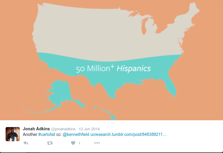
- check out #cartofail for examples
Styled Layer Descriptor (SLD)
- it's a standard!
- hardly anyone implements it!
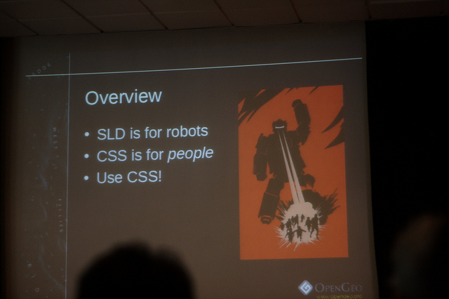
Robots
SLD
<se:Rule>
  <se:Name>Scientific station</se:Name>
  <se:Description>
    <se:Title>Scientific station</se:Title>
  </se:Description>
  <ogc:Filter xmlns:ogc="http://www.opengis.net/ogc">
    <ogc:PropertyIsEqualTo>
      <ogc:PropertyName>featurecla</ogc:PropertyName>
      <ogc:Literal>Scientific station</ogc:Literal>
    </ogc:PropertyIsEqualTo>
  </ogc:Filter>
  <se:PointSymbolizer>
    <se:Graphic>
      <se:Mark>
        <se:WellKnownName>circle</se:WellKnownName>
        <se:Fill>
          <se:SvgParameter name="fill">#ffffff</se:SvgParameter>
        </se:Fill>
        <se:Stroke>
          <se:SvgParameter name="stroke">#000000</se:SvgParameter>
        </se:Stroke>
      </se:Mark>
      <se:Size>1.8</se:Size>
    </se:Graphic>
  </se:PointSymbolizer>
</se:Rule>
Cascading Style Sheets (CSS)
- it's not a mapping standard
- every one implements it differently
- no compatibility
 * {
        fill: lightgray;
          stroke: black;
            stroke-width: 2;

    }

    [PERSONS < 2000000]{
        fill: #4DFF4D;
    }

    [PERSONS >= 2000000] [PERSONS < 4000000]{
        fill: #FF4D4D;
    }

    [PERSONS >= 4000000]{
        fill: #4D4DFF;
    }
Writing SLD
- By hand (not really good)
- Using a GIS (OK but tiring)
- By program (good if it knows what you want)
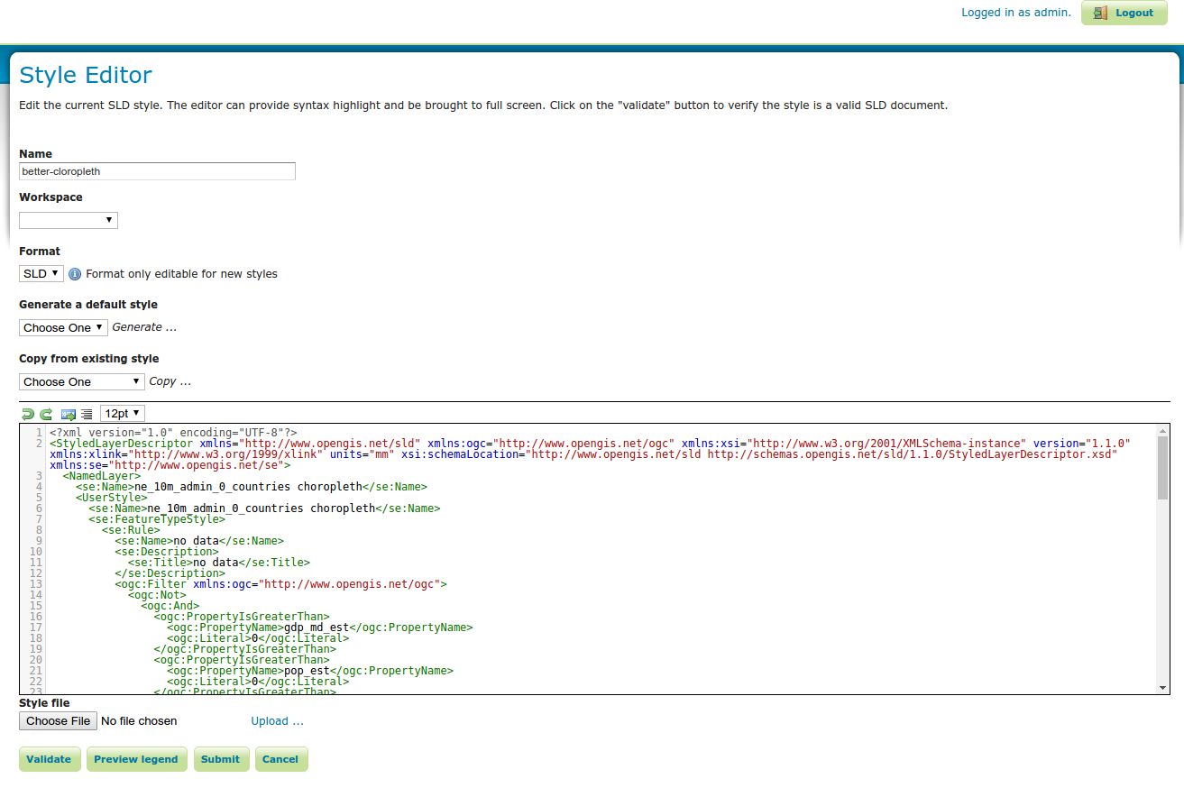
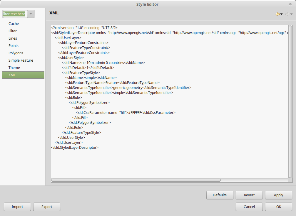
Hand Editing
- use a TEXT editor (not Word)
- Use the GeoServer editor (validating)
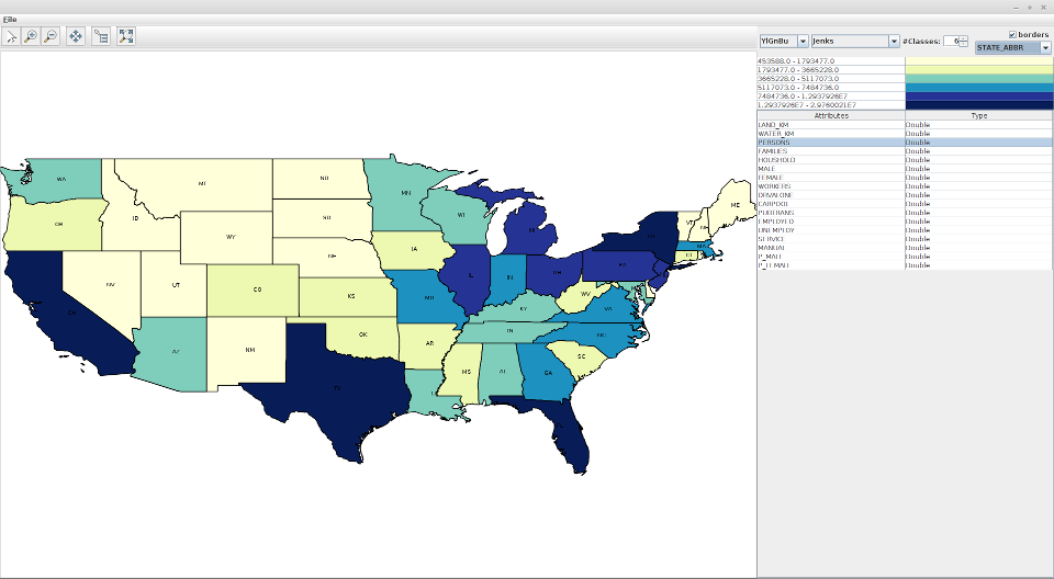
GIS Editors
- QGIS
- UDIG
QGis
- Good styling tools
- No Label export (yet?)
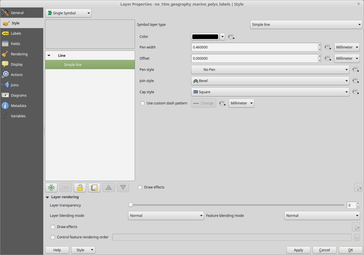
UDig
- Good styling tools
- Can edit raw XML
- Some what unstable
Custom SLD Editors
- Shapefile Viewer
- SLDEditor
Shapefile Viewer
- Applies ColorBrewer to a shapefile attribute
- http://github.com/ianturton/ShapefileViewer
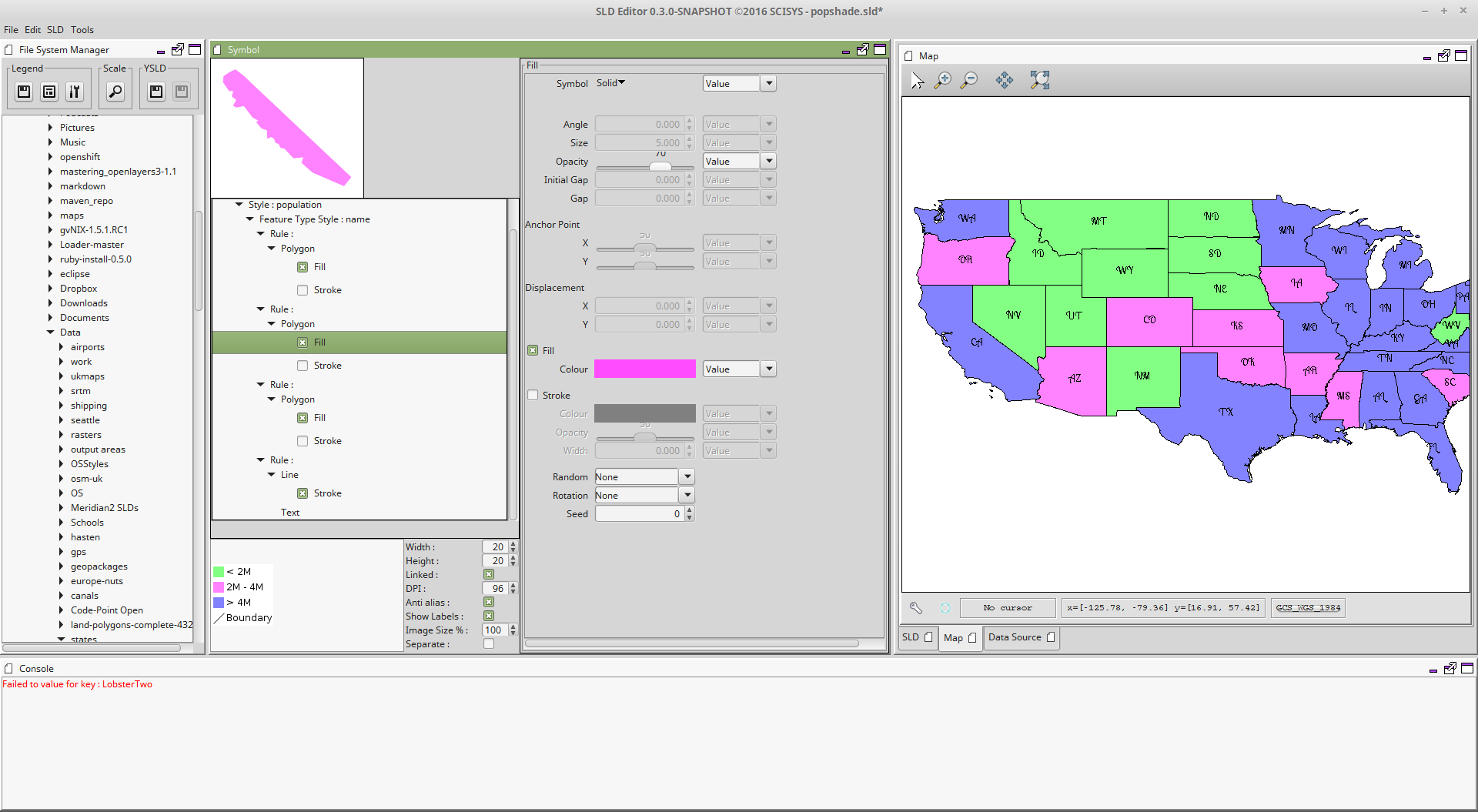
SLDEditor
- Interactive GUI for writing SLDs
- Developed by SciSys, planning to become OSGEO project
- http://github.com/robward-scisys/sldeditor
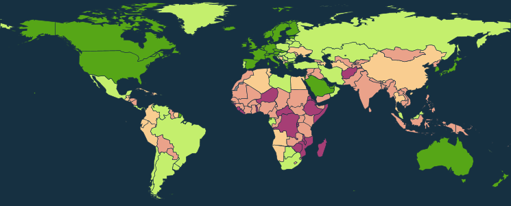
Pretty Maps
Tips & tricks
- set the background colour of the map (bgcolor=0x9fd9c9)
- chose a "good" colour scheme
- use
interpolateinstead of many filters
    <se:Fill>
        <se:SvgParameter name="fill">
        <ogc:Function name="Interpolate">
          <ogc:Mul>
            <ogc:Div>
              <ogc:PropertyName>gdp_md_est</ogc:PropertyName>
              <ogc:PropertyName>pop_est</ogc:PropertyName>
            </ogc:Div>
            <ogc:Literal>1000000</ogc:Literal>
          </ogc:Mul>
          <ogc:Literal>0</ogc:Literal>
          <ogc:Literal>#a63e75</ogc:Literal>
          <ogc:Literal>1000</ogc:Literal>
          <ogc:Literal>#eaa28a</ogc:Literal>
          <ogc:Literal>5000</ogc:Literal>
          <ogc:Literal>#f9cd90</ogc:Literal>
          <ogc:Literal>10000</ogc:Literal>
          <ogc:Literal>#c4ef6d</ogc:Literal>
          <ogc:Literal>20000</ogc:Literal>
          <ogc:Literal>#56a617</ogc:Literal>

          <ogc:Literal>color</ogc:Literal>
        </ogc:Function>
      </se:SvgParameter>
    </se:Fill>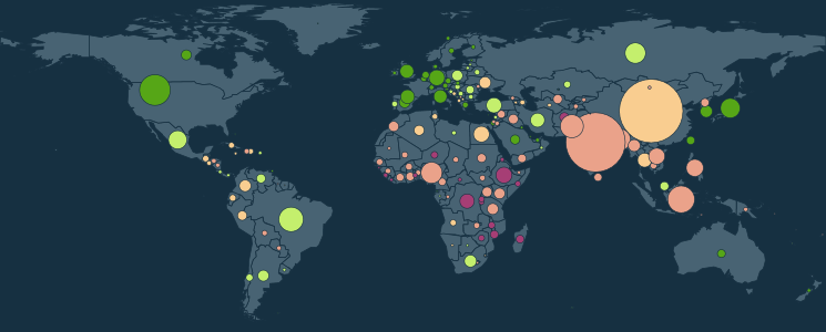
Tips & tricks
- if need be draw the layer twice
- use geometry functions to get the centroid
- use maths functions to calculate sizes
  <se:PolygonSymbolizer>
  <se:Geometry>
    <ogc:Function name="buffer">
      <ogc:Function name="Centroid">
        <ogc:PropertyName>geom</ogc:PropertyName>
      </ogc:Function>
      <ogc:Mul>
        <ogc:Literal>12.0</ogc:Literal>
        <ogc:Div>
          <ogc:Function name="pow">
            <ogc:PropertyName>pop_est</ogc:PropertyName>
            <ogc:Literal>0.5</ogc:Literal>
          </ogc:Function>
          <!--<ogc:Literal>1000000000</ogc:Literal> sqrt -->
          <ogc:Literal>31622</ogc:Literal>
        </ogc:Div>
      </ogc:Mul>
    </ogc:Function>
  </se:Geometry>
Tips & tricks
- GeoServer can follow lines
<sld:VendorOption name="followLine"> true</sld:VendorOption> - If you don't want to see the lines then don't add a
LineSymbolizer!
Other Issues
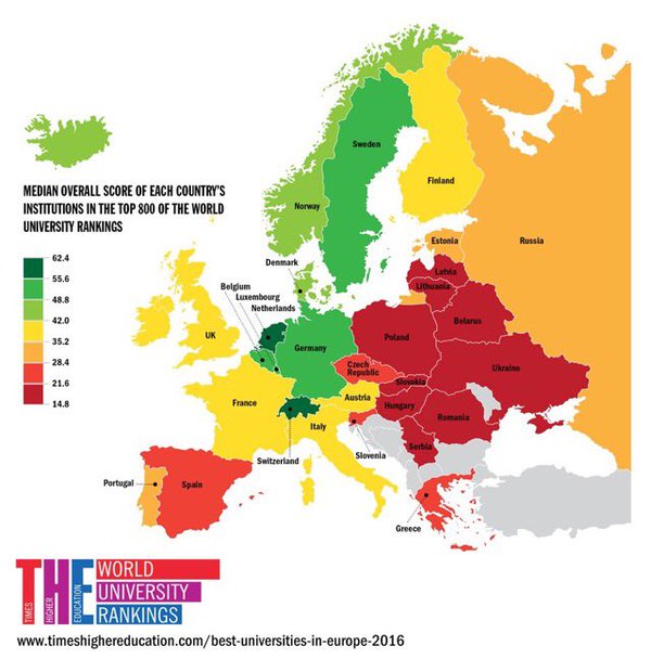
Bad Choropleths
ColorBrewer to the rescue
- both QGis and UDig provide access to ColorBrewer palettes
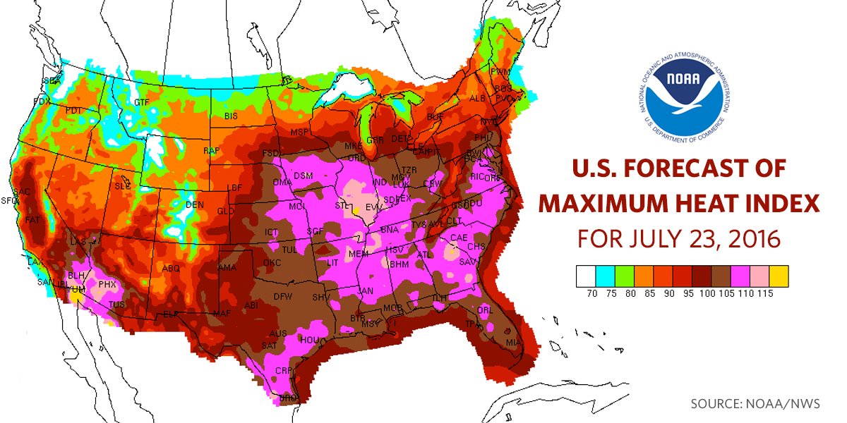
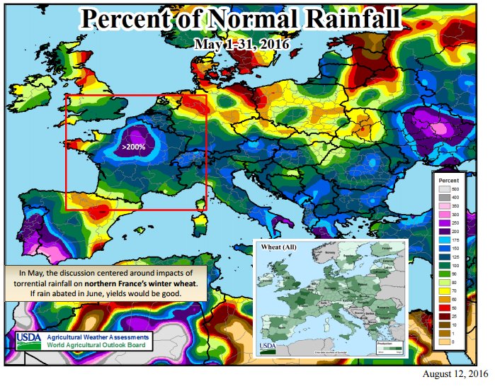
don't use rainbows unless you want to appear on #cartofail
ColorBrewer to the rescue
don't use rainbows unless you want to appear on #cartofail
Missing and Repeated Labels
- Use the centroid
- Use
<VendorOption name="partials">
Finally
- Think about how your map will look.
- Think about your map will be used.